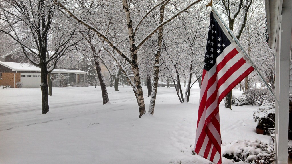
2013-02-07 Snowfall Totals
This picture taken in Palatine by Brian Stennett appeared in the wgn weather blog Posted on: February 7th, 2013 4:32 PM by Steve Kahn
Taken from the wgn weather blog Posted on: February 8th, 2013 12:47 AM by Tom Skilling is a recap of Thursday nights’ snow storm that came through our area during the evening commute…
“You either received snow Thursday or you didn’t. There was virtually no middle ground. And where the snow fell, it did so with vigor, producing the heaviest single-storm snow accumulations of the 2012-13 season.
It was the northern half of the Chicago area over which accumulation grew most impressively from late morning forward. Huge flakes, some nearly an inch in diameter, fluttered to earth in such numbers that visibilities were slashed to fractions of a mile. There were even reports of thunder, signaling vigorous upward motion in the atmosphere, a development which maximized precipitation intensity.
By mid-afternoon, snow accumulations had increased dramatically, producing such icy surfaces that hills became insurmountable—a development which forced road closures. Afternoon and evening commuters found themselves saddled with horrendous road conditions which led to commute times at times hours in length.
Among the more significant accumulation reports by late Thursday evening (with some light snow still falling) were: 9.5” at Zion, 9” Kenosha; 8.5” Beach Park, 7.8” Vernon Hills, 7” Wadsworth and Gurnee, 6.5” Bull Valley and Winthrop Harbor, 6” Grayslake, 5.5” Lake Bluff, 5.3” Lake Zurich, 5.1” Mundelein, 4.9” DeKalb and 4.6” at Northbrook.
While local 2 to 3” totals were reported in sections of Chicago’s north side, O’Hare had only 1” of snow while just 0.5” fell at Midway Airport.”
Check here for accumulation totals…
Check here for additional accumulation totals…


